Radiometric drone imagery reveals heat loss, moisture, and electrical or mechanical faults invisible to the naked eye — captured fast, from the air, without scaffolding or shutdowns.
A thermal camera flown at height turns a slow, ground-based inspection into a single, comprehensive pass — flagging exactly where to look closer.
Roof and façade inspections that surface heat loss, insulation gaps and hidden moisture before they become costly repairs.
Panel arrays, switchgear and overhead lines scanned for hotspots that signal faults, before they cause downtime or fire risk.
Crop stress, irrigation performance and water leaks mapped by temperature signature across large areas in a single flight.
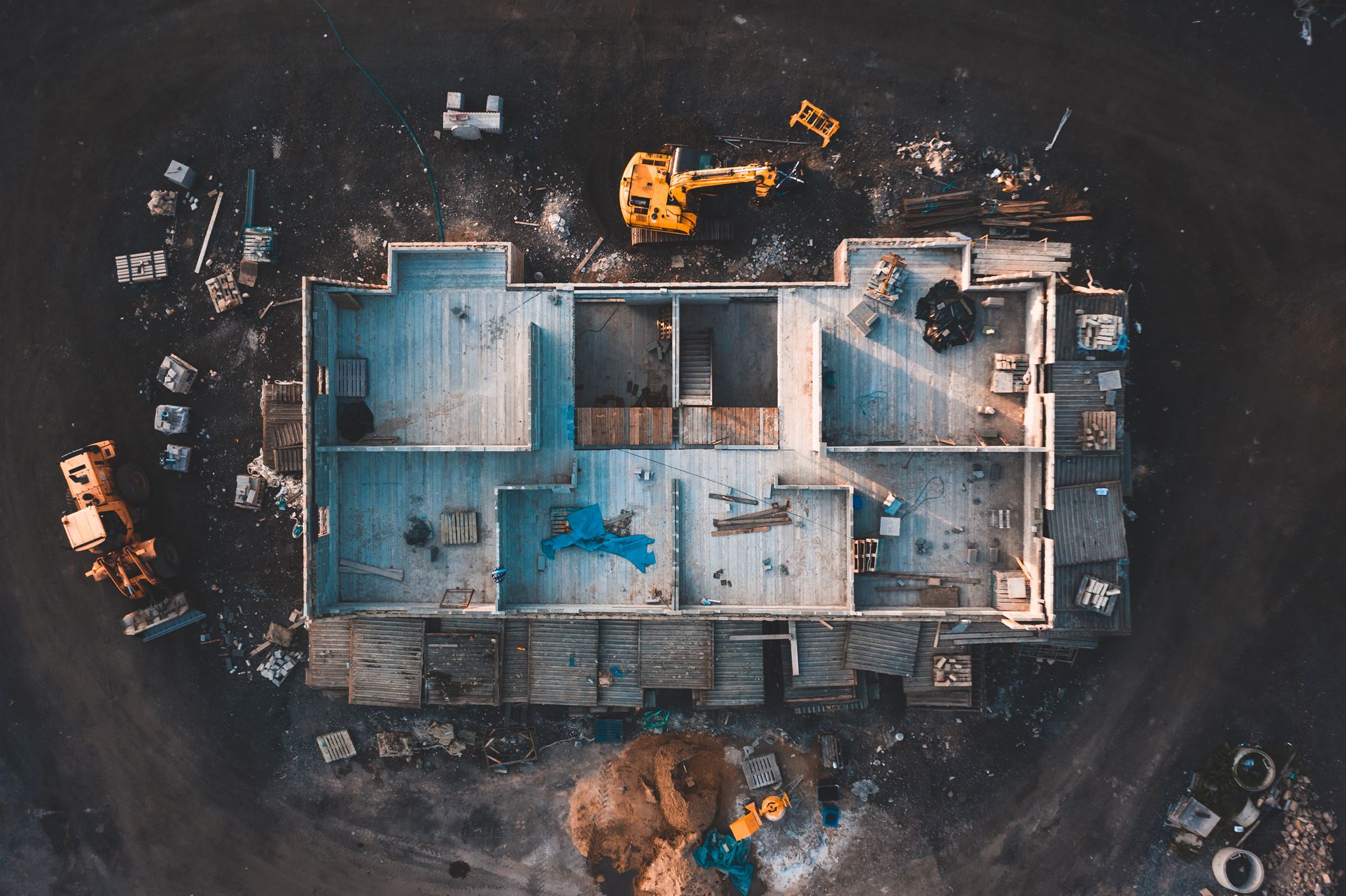 FRAME / TH-01
Every pixel carries a calibrated temperature value, not just a color — so readings hold up to scrutiny.
Infrared frames are captured alongside standard aerial imagery, so every hotspot is anchored to a visible reference point.
Post-flight processing accounts for ambient conditions and emissivity, turning raw frames into a defensible report.
No scaffolding, lifts or roof access required — the whole envelope is scanned safely from the air.
A full site or building scanned in a single flight, versus days of ground-based point checks.
Georeferenced thermal maps and readings clients can share with insurers, engineers or regulators.
Faults caught early — on a roof, a panel or a line — mean fewer unplanned outages and repairs later.
Certification, compliance and where the technology is heading.
