The workflow and applications behind drone-based 3D modeling — realistic digital representations that support decisions across construction, real estate and urban planning.
The process includes capturing high-resolution images, processing data with specialised software, and generating detailed 3D models that accurately reflect real-world structures and landscapes.
High-resolution images are captured using drones to obtain detailed visual data of target structures and landscapes.
Specialised software processes the collected images to align and stitch them for comprehensive data analysis.
Detailed 3D models are generated to accurately represent real-world structures and landscapes for downstream use.
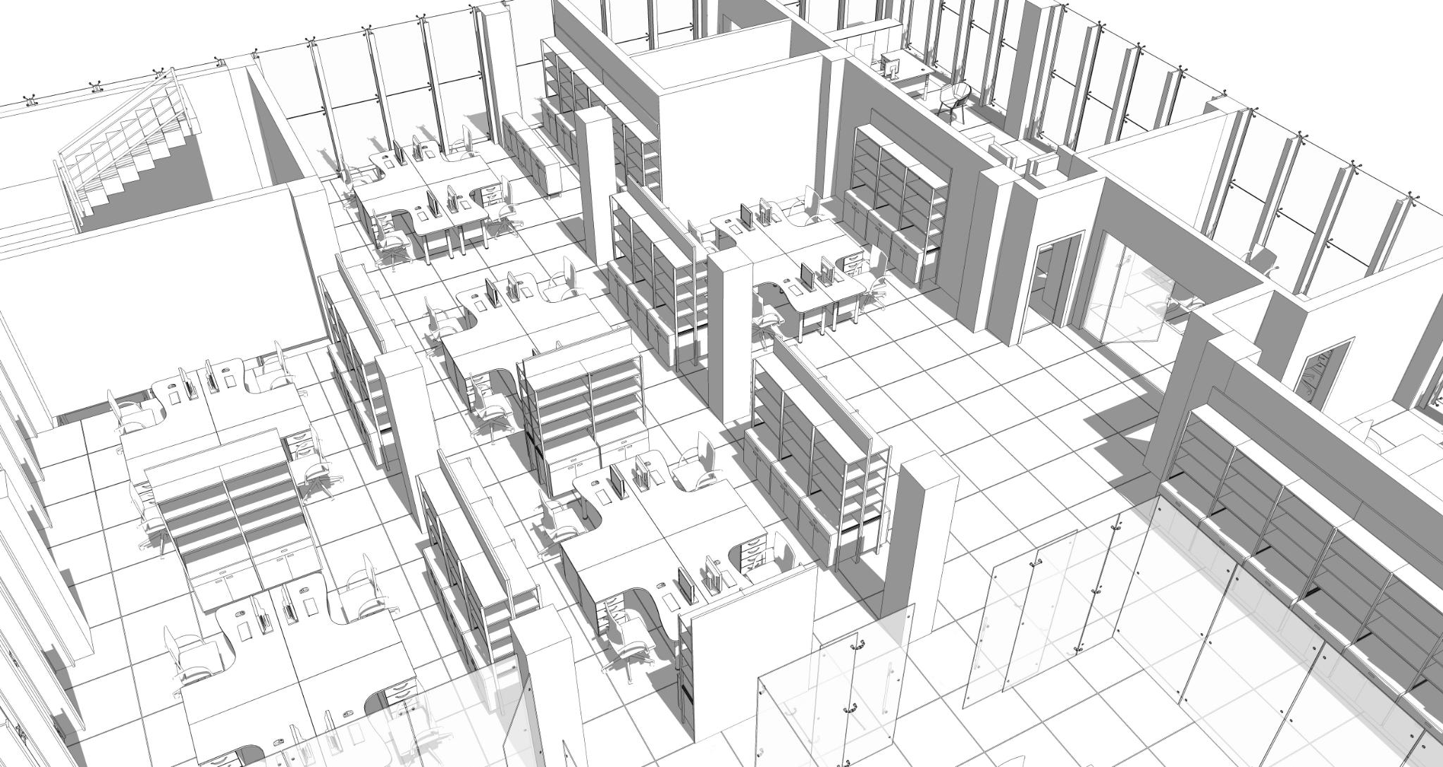 FRAME / 13-A
3D models help visualise and plan construction sites, improving spatial understanding and design accuracy.
Effective progress tracking and management across ongoing construction projects.
Real estate stakeholders benefit from 3D models for property walkthroughs and accurate visualisation.
Planners use 3D models to simulate development scenarios and enhance city planning decisions.
Real-life examples where our 3D modeling services have enhanced project outcomes and delivered measurable value across sectors.
Detailed visualisation improves stakeholder understanding and decision-making across the project lifecycle.
Accurate 3D data helps reduce errors and increase precision in project planning.
3D modeling services benefit diverse sectors, including construction, real estate and urban development.
See where drone imagery serves marketing, events and storytelling.
